

Red Carpet Inn Brooklyn is near three subway stations: Halsey Street is the closest, while Myrtle–Wyckoff Avenues and Seneca Avenue are also nearby. Halsey Street is about a one-minute walk from Red Carpet Inn Brooklyn, giving you a nearby starting point for planning how to get around Brooklyn.
- Closest station: Halsey Street.
- Other nearby stations: Myrtle–Wyckoff Avenues and Seneca Avenue.
- Map context: The MTA neighborhood map labels all three stations in the surrounding area.
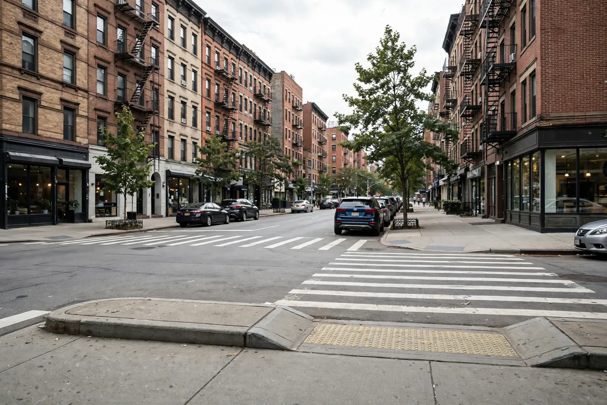
The closest station: Halsey Street
Halsey Street is identified as the nearest subway station. The MTA neighborhood map labels Wyckoff Avenue and Halsey Street in the surrounding area.
For a simple first step, locate Halsey Street on the MTA map, then check the route and service information for your destination before setting out. The map gives neighborhood context; it does not replace checking current service details for a particular trip.
If you're arriving by air, see this guide to getting from LaGuardia to Brooklyn for airport transfer information.
Myrtle–Wyckoff Avenues and Seneca Avenue
Myrtle–Wyckoff Avenues and Seneca Avenue are two more nearby stations, and the MTA neighborhood map labels both in the same map area. Myrtle–Wyckoff Avenues is about an eight-minute walk away; Seneca Avenue is about a thirteen-minute walk away.
Compare the station locations on the map with the route you need rather than assuming the closest station is always the best one for a particular destination. The MTA map also labels the B20 and B60 bus routes around Myrtle–Wyckoff Avenues, which can help you orient yourself to the mapped area.
Choosing a route across Brooklyn
The MTA neighborhood map is a useful starting point for seeing how the nearby stations sit in relation to one another. It labels Halsey Street, Myrtle–Wyckoff Avenues and Seneca Avenue, along with Wyckoff Avenue and the B20 and B60 bus routes.
Start by finding your destination on an MTA map, then compare the station names and route information with the nearby options. For a day built around local stops, you can also use this one-day guide to places nearby to plan what to combine.
For a broader view, use a Brooklyn subway map to trace the route beyond the neighborhood map area. Check the MTA's current route and service information before you travel, since a map alone does not tell you whether a particular train is running as planned.
Fares, transfers, and service changes
Check the MTA's current fare and service information before you travel, since fares and service arrangements can change. For your trip, confirm the fare that applies and look up any transfer details or service changes on the MTA's official channels.
Keep the route you plan to take in mind when checking updates, especially if your trip depends on a particular station or connection. For airport journeys, compare your subway plan with the LaGuardia airport transfer guide.
Accessibility and station planning
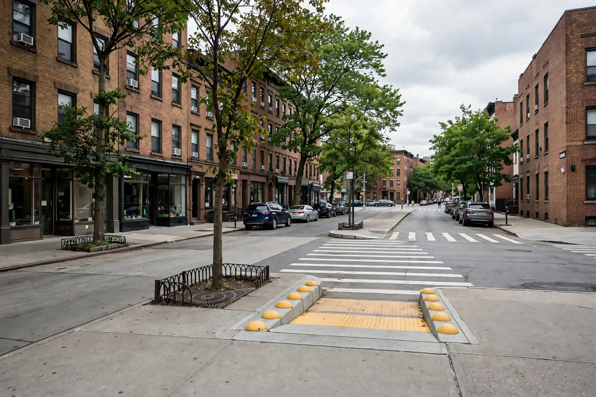
Check the current accessibility information for each station you plan to use rather than assuming nearby stations offer the same access. The MTA distinguishes fully ADA-accessible stations from stations with upgrades in construction or planned, and stations that are not accessible.
Use the MTA's current station information to confirm the status that applies to your route, and check the official site before you go. If accessibility affects your plans, verify each station and any transfer points you expect to use.
FAQs
Which subway station is closest?
Halsey Street is identified as the nearest station.
Where are Myrtle–Wyckoff Avenues and Seneca Avenue?
Both are nearby stations shown in the same area on the MTA neighborhood map.
Where can you check subway fares and service?
Check the MTA's official fare and service information for current details before travelling.
How can you check station accessibility?
Use the MTA's current station information to confirm accessibility for the stations and transfer points on your route.